CAD/GIS
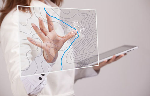
Engineering services always require graphic representations for complete technical documentation. The CAD / GIS department is responsible for the creation of graphic documents for all projects in our departments. High quality is guaranteed through the consistent use of the latest hardware and software, bundled with the professional competence of the employees.
The CAD / GIS area as an internal service provider can rely on the references of the individual specialist areas, since it takes part in almost every project.
Technical documents
- Process flow diagrams, P&I flow diagrams
- Site plans, inventory plans, inventory documentation, plans for hazardous areas
- Construction drawings and layout plans of technical systems and structures
- Plans with evaluations of specific problems in the area of contaminated sites and the environment
- Fire brigade plans, fire brigade running cards, escape and rescue plans
Used software
- Autodesk products such as AutoCAD, MAP 3D, CIVIL 3D, MEP and others
- MicroStation, InRoads Site, PowerDraft
- ArcGIS for Desktop
- Various subject-specific applications as an add-on to the aforementioned standard software
/
/
Unser Leistungsanspruch – Eine gute Lösung für Sie!
Ing. Frank Naue
T: +49 351 47878-22
T: +49 351 47878-22